|
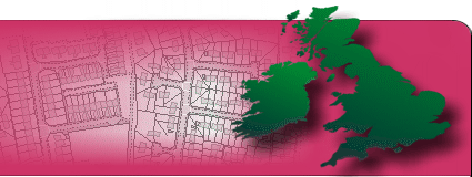
Hotmapping.co.uk
specialise in providing aerial thermal surveys, geo-rectification, image analysis
and data mapping to business and government
organisations in the UK.
-
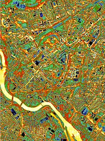
Aerial photographs - historic and
new - seamlessly stitched together
and georectified
-
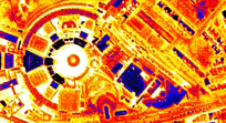
Thermal surveys georectified to
overlay maps in GIS systems
-
Spatial analysis allows at-a-glance
interpretation of infra-red surveys
- including old data
-
Complete heat-loss surveys of London
available immediately
-
Ground-level images overlaid on
corresponding digital photographs
-
Aerial site surveys for marketing
and analysis
-
Turning location based data into
maps.
|
Our many years of
experience in surveying and computer generated
imagery ensure that we can provide the right
solution to meet your requirements. All our
image georectifying services are carried out
in-house - we don't out-source no matter how large
the job, so you are always dealing directly with the
service provider.
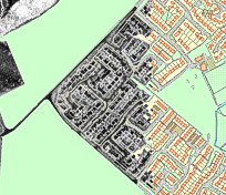
We rectify and the join
together images of all types so that they can be
overlaid on maps, aerial photographs and satellite
images. If required, we can buy in the
necessary map and aerial data, making us a one-stop
service for your organisation. We will provide
you with files in a format that suits your GIS
software such as ArcView, GPP and Cadcorp, and our
rectified data is compatible with Ordnance Survey OS MasterMap amongst many other formats.
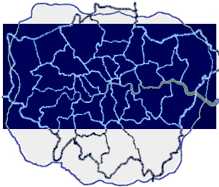
In our products section,
we have infra-red aerial data-sets of most London
boroughs available for immediate purchase. This data
was collected by
Horton Levi Ltd,
specialists in thermal imaging, and can be
geo-rectified to enable analysis of heat loss for
property managers, energy officers,
local authorities and individual organisations such
as schools and hospitals. We can georectify
single images or entire LA areas to aid
identification. We can join the aerial images
together to form a mosaic - a seamless heat loss map
of central London.
For more information,
please contact us
here, or call on
07949 854412. |